From a reader:
An Ohio friend and I completed a one day winter traverse of the presidential range in the White Mountains in New Hampshire.
The hike is 18 miles long, with a total elevation gain of 10k feet. It begins with a steep four mile approach under trees, ascending above tree-line 4000 feet to the summit of Mt. Madison, traversing and summiting each of president-named peaks, including Mt. Washington in the middle. The weather was clear and sunny, high of 19 degrees F., with 20 - 30 mile an hour winds. But the weather is subject to change, with the days leading up to our weather window seeing 50-70 mph sustained winds with gusts in the 75 -79 range, temperatures in the single digits below zero.
We started around 3 a.m. in Randolph NH and finished a little after 630 p.m. in Crawford Notch. The track was mostly loose snow, exposed ice, exposed rock, with occasional knee to waist deep snow). We had GPS devices and a satellite communication platform for tracking our progress and sending emergency communications, as white out conditions are common. We had snowshoes, but never took off our crampons. (In the days before, we broke the trail four miles on both ends with snowshoes.) There was some fall exposure in the snowfields up Jefferson and on the cone of Washington next to the Great Gulf ravine.
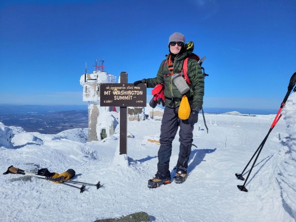
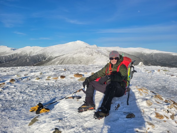
The Wild Outsiders article below describes the climb, logistics, and gear. The photos comprehend most of the above tree-line part of the hike from Jefferson looking at Washington over the Great Gulf ravine from the north (photo # 1), Washington itself (photo #2), then Eisenhower from the south (photo #3). If you zoom in on the photos, you can just make out the approx. 50 ft. high towers on Washington, which gives you an idea of the scale of the traverse.


